
No dogs allowed
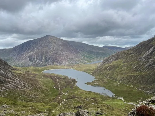
We start at the layby car park on the A5 ( the one nearest to the Ogwen Visitor Centre to avoid parking charges ) and walk the 300m west along the road to the Centre where we ascend south towards Llyn Idwal. Passing it by on the north side we begin the ascent of Y Garn. This is a steep, fairly unrelenting climb with occasional easy scrambling and some mild exposure on the summit ridge.
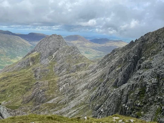
We descend south east to Llyn y Cwn where we start the challenging 300m ascent of Glyder Fawr; this is over rough ground including a section ascending on scree. Glyder Fawr at 1001m is the high point of the day and we have now completed most of the ascent for the day. The terrain is very dramatic with almost unworldly rock formations. On a good weather day, the views from here over Snowdonia and to north and Conwy Bay are fabulous.
Walking east, a small loss then gain of height over a mile brings us to Glyder Fach. The terrain here is very rocky and awkward but very dramatic. We now start the descent, firstly continuing east then north west to Bwlch Tryfan and on down a well engineered path to Llyn Bochlwyd. A good path directly north takes us back to the car park.
Join the relevant OHWC Community Group to book the walk
Safety
Let the walk leader know of any relevant medical conditions
Refer to the Handbook for walk related information and specifically for recommended walking equipment https://ohwc.org.uk/kit-list/ and safety information https://ohwc.org.uk/safety/
Remember you are responsible for being properly equipped
Ensure you have the walk leader’s phone number in case of an emergency
Let the walk leader know of any relevant medical conditions
Refer to the Handbook for walk related information and specifically for recommended walking equipment and safety information
Remember you are responsible for being properly equipped
Ensure you have the walk leader’s phone number in case of an emergency
If you become detached from the group STOP, call out; try contacting group by phone or text. If no contact return to the last place you were with the group. Wait 30 mins repeatedly trying to make contact. After 30 mins seek help and/or make your own way safely.
The Google map below is the location of the walk start point.