
No dogs allowed
Starting from the A5 where we parked the cars we head due north crossing a small bridge over the Afon Denau and past a mountaineering club hut before taking the track past the farm complex of Tal y Llyn Ogwen on our left.
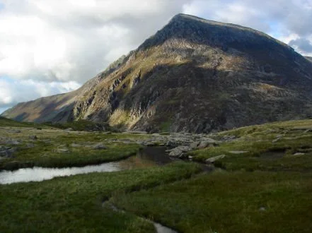
Our path continues over sheep grazing ground adjacent to Afon Lloer and due north. We continue straight ahead when passing over a wall for another 300 m when the path turns 90 deg left and we start a steep ascent of Pen yr Ole Wen. There is a short 10m section on this path where good handholds and footholds are found to make the ascent. Apart from that area the path is on good firm ground and takes us to the top of Pen Yr Ole Wen at 978 m and 2.5 miles in. (Coffee break and snack !) We have achieved our most strenuous and continuous element of ascent of 650m.
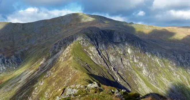
We now follow the Cambrian Way with a steep slop on our right over to the summit of Carnedd Dafydd at 1044 m. The ground is bare rocky pebbles and stones which can be windswept.
From the summit of Carnedd Dafydd we turn due east following a well-trod path, the Cefn Ysgolion Duon before turning north east to the summit of Carnedd Llewelyn at our highest point of 1064 m and 5 miles in. There is a good shelter here which is lunch.
With an edge to our left we then descend off Carnedd Llewelyn to the east, again on a well defined path that turns south east and reaches the broad ridge of Bwlch Eryl Farchog. Half way along this ridge we take a narrow path to our right (approx. 5.7 miles) which winds down the side of the ridge eventually to the reservoir lake below (Ffynnon Llugwy reservoir) and now back amongst sheep grazing territory descend the rather monotonously straight tarmac track back to the A5. Options here are a 1km walk at the side of the road or turn away from the cars for 300m before crossing the road and joining the Snowdonia Slate Trail on the southern side of the A5 back to where we started.
Escape off the route is possible almost anywhere between Carnedd Dafydd and Carnedd Llewelyn by descending moderately steep grassy slopes and traversing a dry stone wall towards the reservoir.
This walk is fine in most conditions, but continuous rain, poor visibility and/or high winds would make this an endurance event rather than the pleasant walk that it should be. Given inclement conditions we would make an alternative walk being the forests of Betws-Y-Coed
Safety
It is your responsibility to assess your own fitness to join a walk. If you are in any doubt, please consult your medical professional.
You MUST carry a completed ICE card (“In Case of Emergency”) and show this to your walk leader on arrival at the walk. Our walk leaders have been instructed ask for sight of your ICE card and if you cannot produce one, you will be unable to join the walk.
Refer to the Handbook for walk related information and specifically for recommended walking equipment and safety information
Remember you are responsible for being properly equipped
Ensure you have the walk leader’s phone number in case of an emergency and if you become detached from the group STOP, call out; try contacting group by phone or text. If no contact return to the last place you were with the group. Wait 30 mins repeatedly trying to make contact. After 30 mins seek help and/or make your own way safely.
The Google map below is the location of the walk start point.