
No dogs allowed
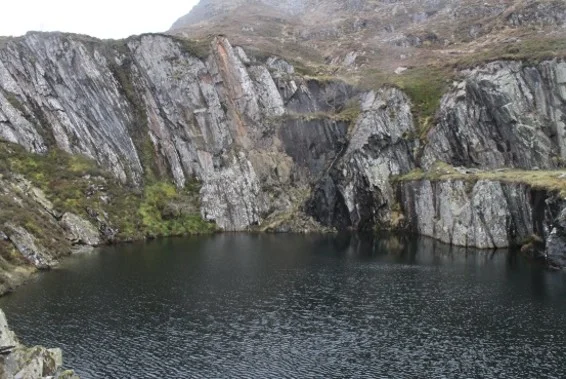
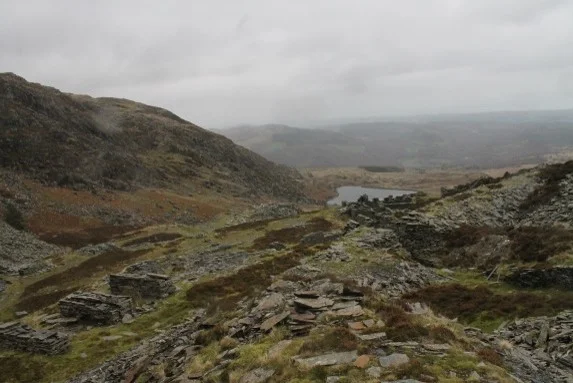
The ascent is much easier now still on a good path as we approach several small lakes and disused mine workings. As we gain height the track becomes much rougher . The path deteriorates further over uneven and boggy ground until we start the main ascent to the summit of Moel Siabod by the south east ridge. There is an obvious path though it is steep, continuous and involves some easy scrambling. It may well be greasy but no exposure. By this route we gain the final 300m ascent to the summit of Moel Siabod at 872m.
On a good day the views over the rest of Snowdonia can be wonderful.
We now descend by an obvious path back towards Capel Curig but stay on the south side of the Afon Llugwy, with an easy stroll through woods and taking in some delightful waterfalls on the way to the car park.
Safety
Let the walk leader know of any relevant medical conditions
Refer to the Handbook for walk related information and specifically for recommended walking equipment https://ohwc.org.uk/kit-list/ and safety information https://ohwc.org.uk/safety/
Remember you are responsible for being properly equipped
Ensure you have the walk leader’s phone number in case of an emergency
Let the walk leader know of any relevant medical conditions
Refer to the Handbook for walk related information and specifically for recommended walking equipment and safety information
Remember you are responsible for being properly equipped
Ensure you have the walk leader’s phone number in case of an emergency
If you become detached from the group STOP, call out; try contacting group by phone or text. If no contact return to the last place you were with the group. Wait 30 mins repeatedly trying to make contact. After 30 mins seek help and/or make your own way safely.
The Google map below is the location of the walk start point.