
No dogs allowed
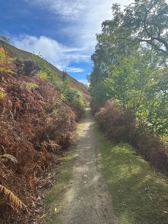
A short, stiff climb out of Llangollen takes us up to the dramatic ruins of Castell Dinas Bran overlooking the Eglwyseg valley. The steepest climb of the day is now over and we descend to a short road section before a more gentle ascent takes us up onto a good path across the heathery moorland plateau of Eglwyseg mountain.
We head generally north for about 5km until the crags of World’s End come into view and then circle round westwards to a descending path that snakes its way down through the escarpment to join Offa’s Dyke path. We continue on Offa’s Dyke SW as it traces an impressive balcony line below the limestone cliffs.
The main valley is crossed via a descent across fields and another short section on lanes leads us into a peaceful woodland walk above Valle Crucais Abbey. A bit more lane and field brings us back to the foot of Dinas Bran where we join our outward route back to the café and car park.
Safety
It is your responsibility to assess your own fitness to join a walk. If you are in any doubt, please consult your medical professional.
You MUST carry a completed ICE card (“In Case of Emergency”) and show this to your walk leader on arrival at the walk. Our walk leaders have been instructed ask for sight of your ICE card and if you cannot produce one, you will be unable to join the walk.
Refer to the Handbook for walk related information and specifically for recommended walking equipment and safety information
Remember you are responsible for being properly equipped
Ensure you have the walk leader’s phone number in case of an emergency and if you become detached from the group STOP, call out; try contacting group by phone or text. If no contact return to the last place you were with the group. Wait 30 mins repeatedly trying to make contact. After 30 mins seek help and/or make your own way safely.
The Google map below is the location of the walk start point.